Four Days in Van and Kars
Urartian fortresses and Akdamar on Lake Van, then north through Doğubayazıt to Kars and the medieval city of Ani: four days by car.
4 days · 10 stops · about 492 km · about 21 h 50 min including visits · by car
The route starts in Van, crosses the Doğubayazıt district of Ağrı province and ends in Kars. Both Van and Kars have airports with flights from Istanbul, so you can fly into one and out of the other. This is high plateau country: summer evenings are cool, and winter snow and ice make the roads hard going. Late spring to early autumn is the easiest time.
Day 1: central Van
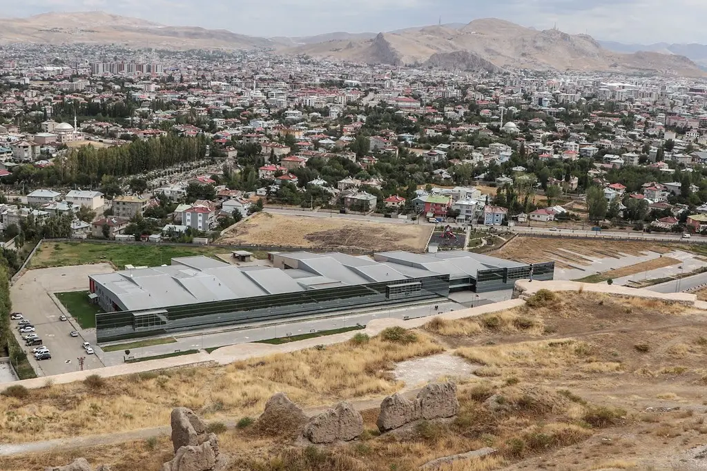
Start at the Van Museum. Its new building, put up after the 2011 earthquakes, stands just south of Van Fortress. The collection is strongest on Urartu, the Iron Age kingdom centred on Lake Van, with Seljuk and Ottoman pieces as well. Allow an hour and a half.
Then climb Van Fortress, the citadel of the Urartian capital Tushpa, set along a long rock ridge by the lake. The way up is steep and stepped, and the wind at the top is strong; give it two hours. On the flat ground south of the rock lie the ruins of the Old City of Van, a former town where a few mosques and a tomb still stand among the rubble.
Day 2: Çavuştepe, Hoşap and Akdamar
Head south-east in the morning, on the road towards Başkale. Çavuştepe is an Urartian fortress stretched along a ridge, with foundation walls, a temple platform and stones carrying cuneiform inscriptions. An hour is enough. Further along the same road is Hoşap Castle, built on a rock outcrop in the 17th century, with an old bridge below it. The climb is short but steep.
In the afternoon drive back through Van and west towards Gevaş for Akdamar Island. Boats leave from a pier on the shore; the island's 10th-century church is known for the carved reliefs covering its outer walls. Plan on an hour to an hour and a half on the island. Boats depend on the weather and may not run on windy days.
Day 3: via Doğubayazıt to Kars
Van to Doğubayazıt is a few hours by road. On a slope above the town, facing Mount Ararat (Ağrı Dağı), stands İshak Paşa Palace, an 18th-century palace with courtyards, a harem section and a mosque; two hours covers it. Another few hours of driving brings you to Kars. In the evening, walk the centre, where many stone buildings survive from the period of Russian rule.
Day 4: Ani and the Kars museums
Go to Ani early. The medieval city spreads across a wide, open plateau on the edge of the Arpaçay (Akhurian) gorge, which forms the border with Armenia. Walking between the churches, the mosque and the walls takes at least three hours. There is no shade and the wind is often strong, so bring a windproof layer, a hat and water, and wear sturdy shoes. The site is in a border zone: keep your passport with you.
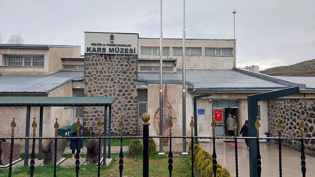
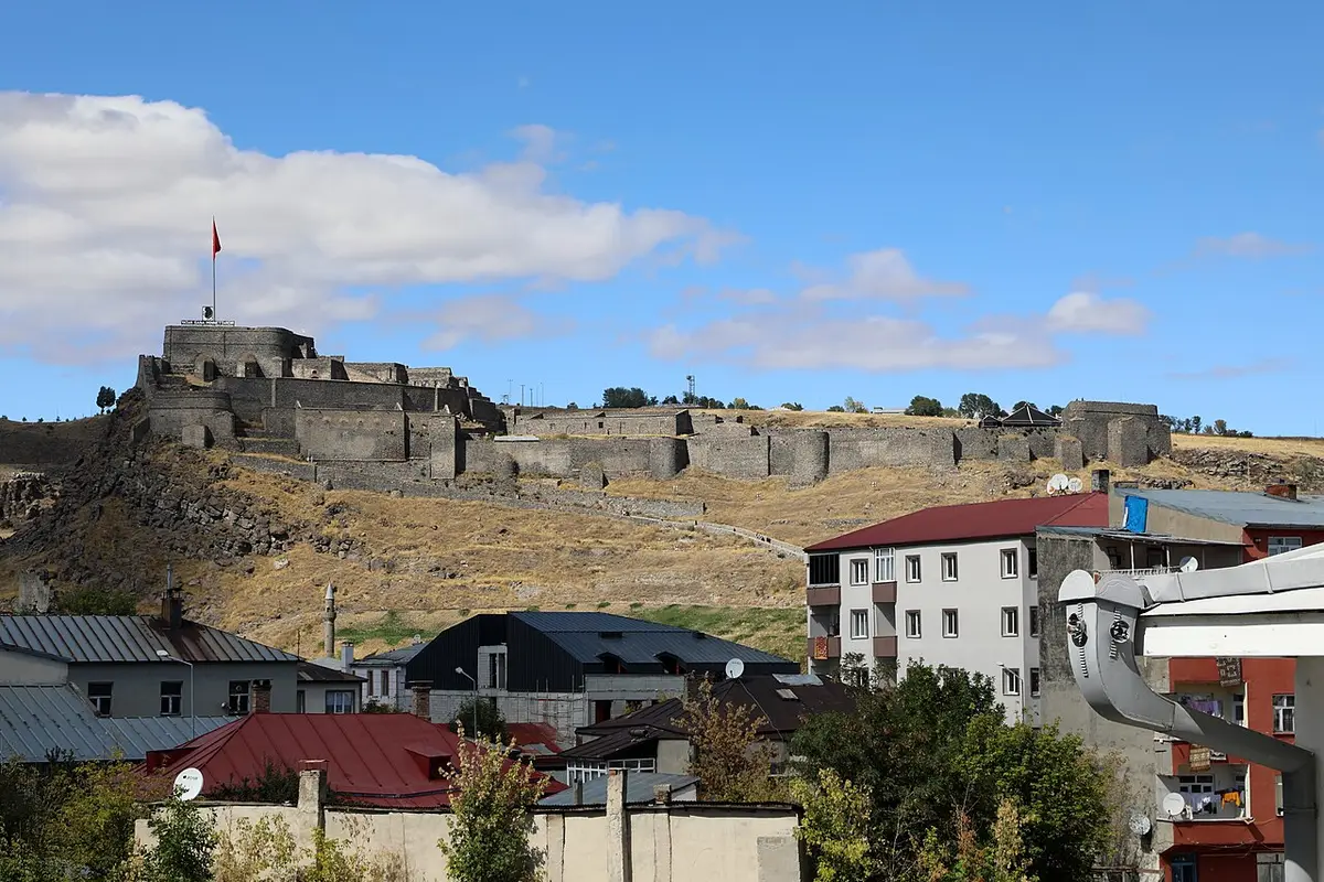
Back in Kars, give an hour to the archaeology and ethnography galleries of the Kars Museum, then climb to Kars Castle above the old town for the view. Finish at the Caucasus Front War History Museum, set inside one of the city's old fortifications, which tells the story of the First World War Caucasus front and the Sarıkamış campaign through reconstructed scenes.
Practical notes
- Some museums close one day a week. Check the hours on each museum page.
- Doğubayazıt and Ani are close to international borders; carry your passport throughout.
- For the Black Sea coast, see the Trabzon and Rize route; for the south-east, the Gaziantep, Şanlıurfa and Mardin route.
Stops
Day 1
Photo: Wikimedia CommonsNew building south of Van Fortress, strongest on the Urartian period.
To the next stop: about 0.3 km · 5 min on foot
- Photo: Wikimedia Commons
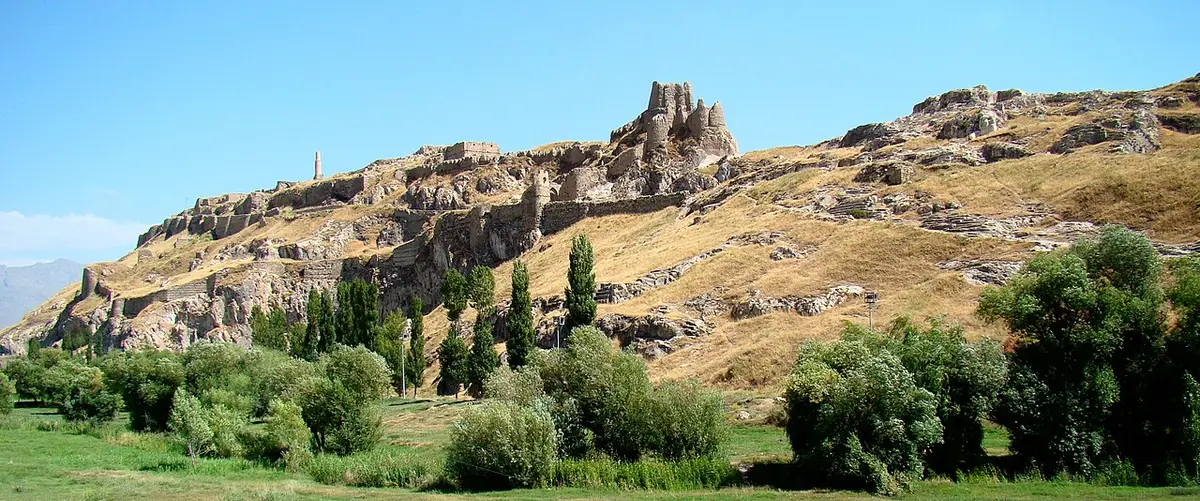
A steep, stepped climb onto the rock; bring a windproof layer.
To the next stop: about 0.1 km · 2 min on foot
- Photo: Wikimedia Commons
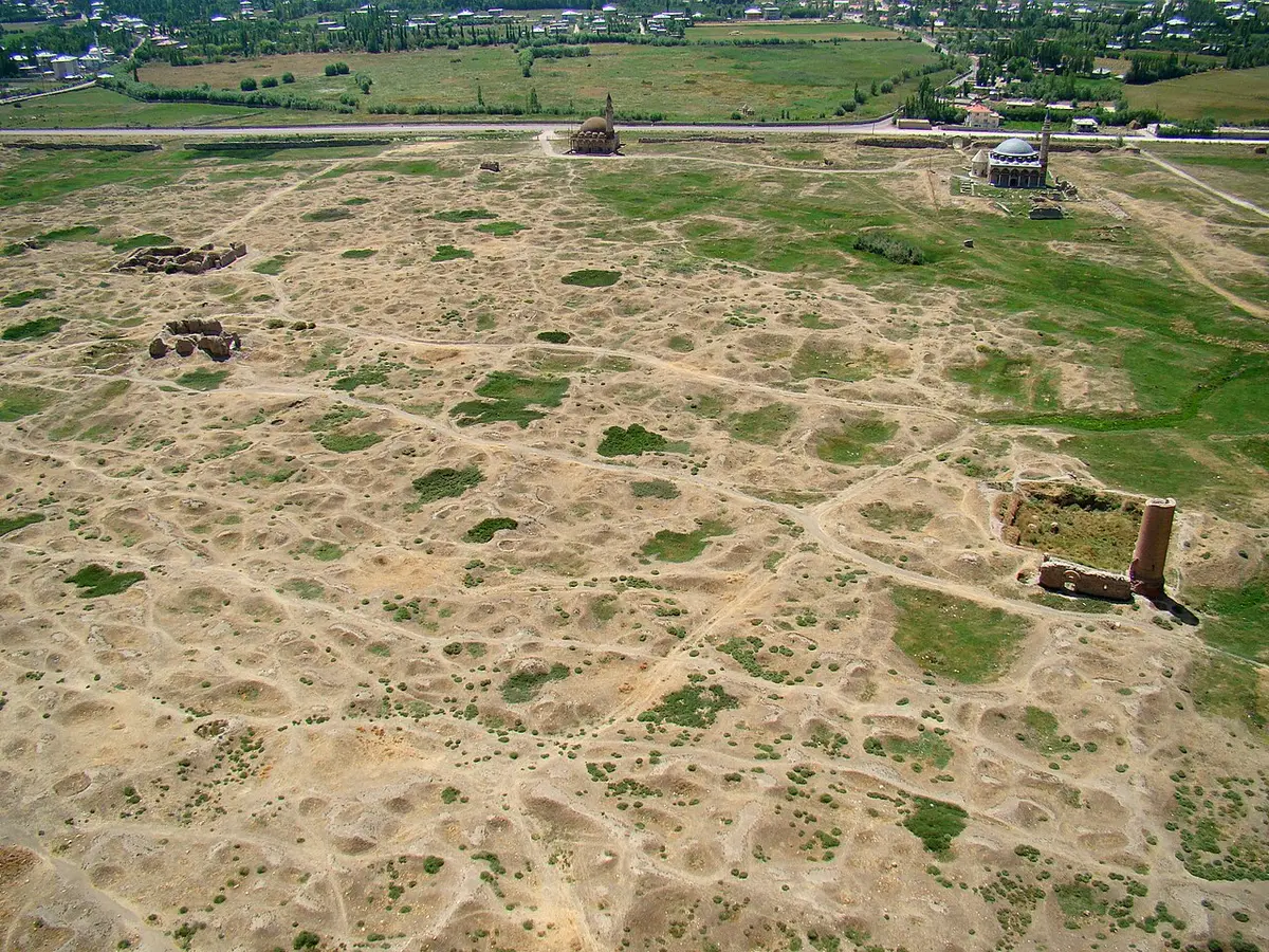
To the next stop: about 28 km · 28 min by car
Day 2
Photo: Wikimedia Commons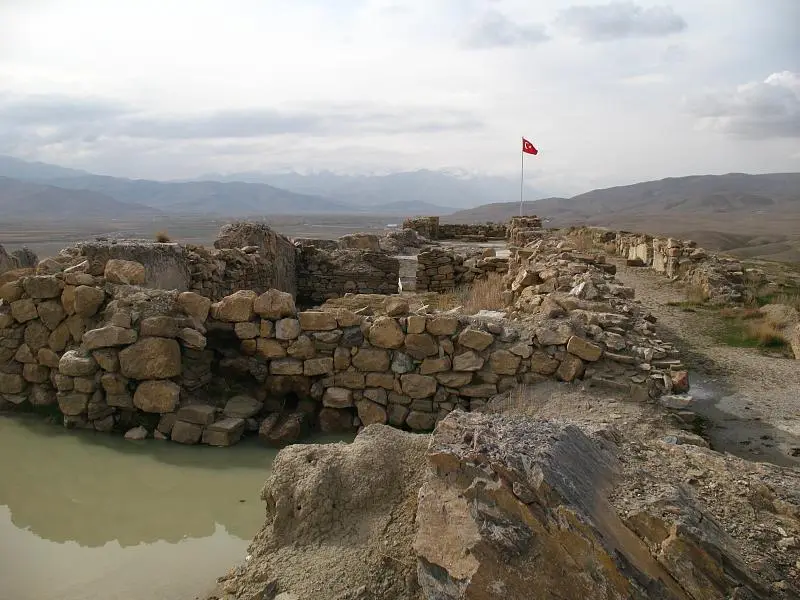
Çavuştepe
Van, Gürpınar
To the next stop: about 42 km · 42 min by car
- Photo: Wikimedia Commons
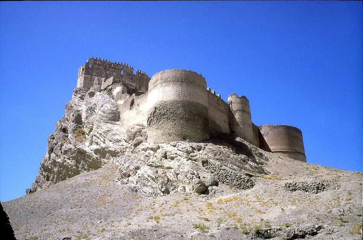
A short but steep climb up to the walls.
To the next stop: about 192 km · 3 h 12 min by car
Day 3
Photo: Wikimedia Commons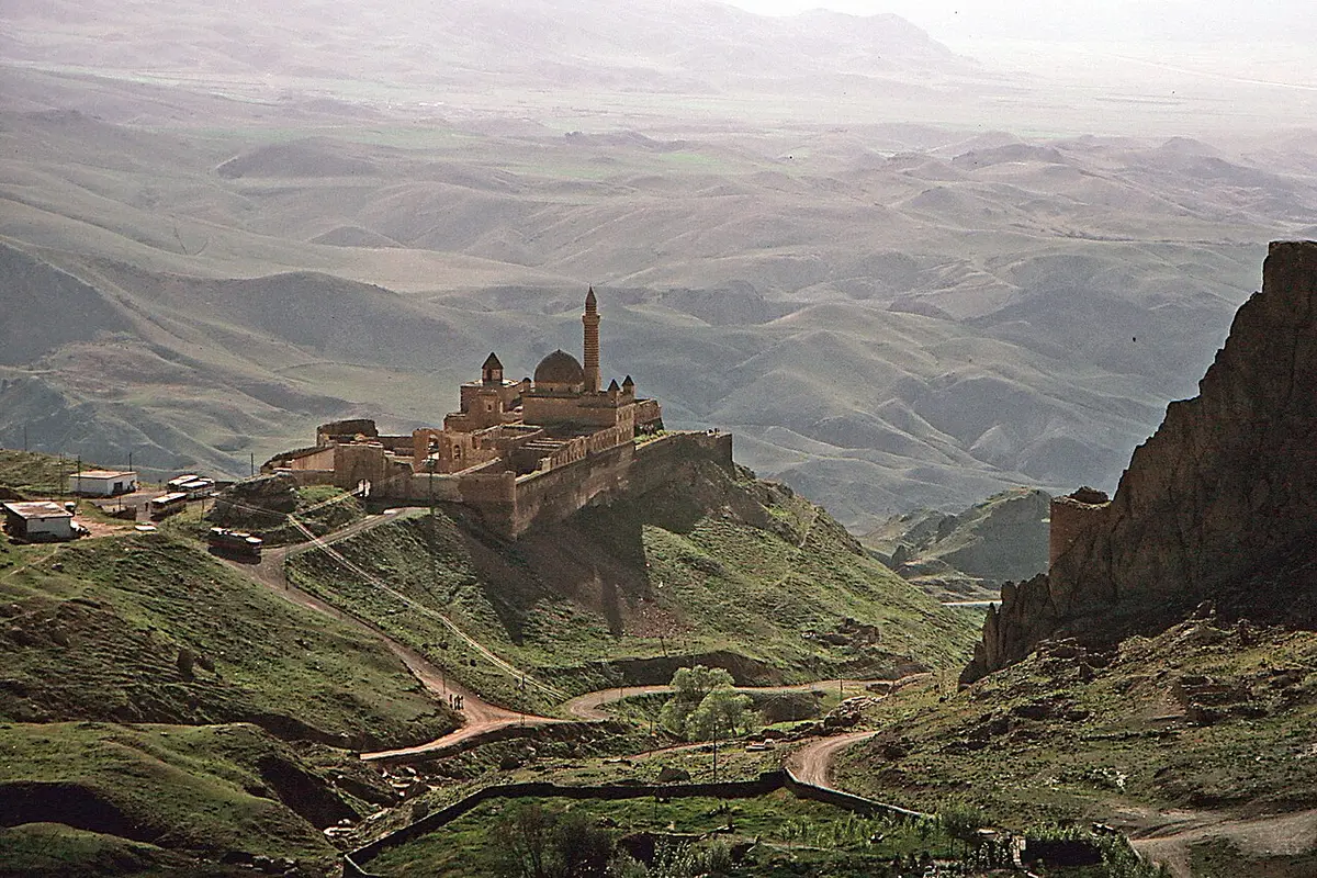
On an exposed slope facing Mount Ararat; the courtyards can be windy.
To the next stop: about 167 km · 2 h 47 min by car
Day 4
Photo: Wikimedia Commons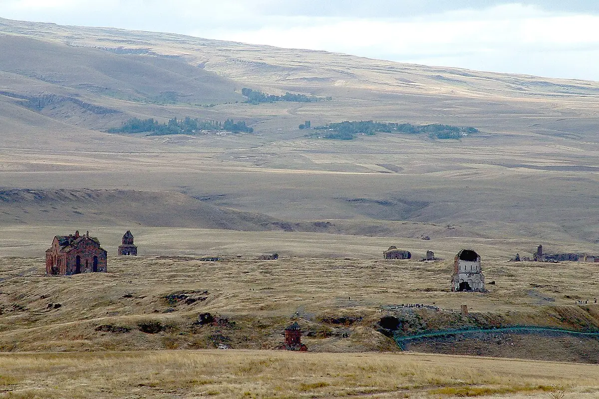
Wide, shadeless and windy; a border zone, so carry your passport.
To the next stop: about 57 km · 57 min by car
- Photo: Wikimedia Commons
To the next stop: about 2.4 km · 2 min by car
- Photo: Wikimedia Commons
To the next stop: about 3.6 km · 4 min by car
Set inside an old fortification known as Kanlı Tabya.
Distances are straight-line estimates adjusted for roads and paths; check the hours on each museum page before you go.