 4.3 km
Chrysaoris
Muğla, Yatağan
Muğla · Archaeological site
Photo: gabri331 · Public domain
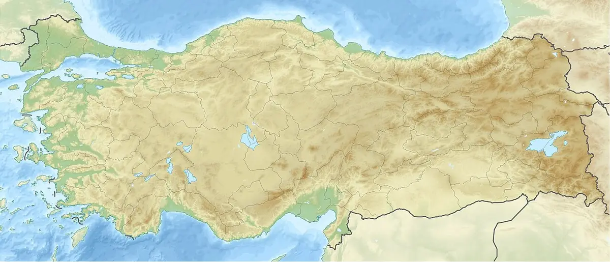
Stratonicea (Hittite: 𒀜𒊑𒅀 Atriya, Ancient Greek: Στρατoνικεια or Στρατoνικη; or per Stephanus of Byzantium: Στρατονίκεια) – also transliterated as Stratonikeia, Stratoniceia, Stratoniki, and Stratonike and Stratonice; a successor settlement to Chrysaoris; and for a time named Hadrianopolis – was one of the most important towns in the interior of ancient Caria, Anatolia, situated on the east-southeast of Mylasa, and on the south of the river Marsyas; its site is now located at the present village of Eskihisar, Muğla Province, Turkey. It is situated at a distance of 1 km (0.62 mi) from the intercity road D.330 that connects the district center of Yatağan with Bodrum and Milas, shortly before Yatağan power station if one has taken departure from the latter towns.
Text: Wikipedia, CC BY-SA 4.0 · Read more on Wikipedia
4.3 kmMuğla, Yatağan
Muğla
 6.1 km
Muğla
 6.6 km
Muğla
Wrong information?Tell usFix it on OpenStreetMap