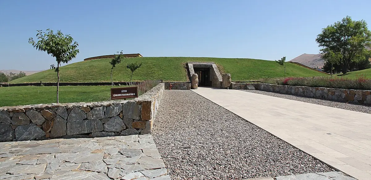
 1.9 km
Kaman-Kalehöyük
Kırşehir · Archaeological site
Photo: Hajo-Muc · CC BY-SA 3.0
Catalogue label
- Type
- Archaeology
- Kind
- Archaeological site
- Province / district
- Kırşehir
- Elevation
- 1,068 m
- Wikidata
- Q1237572
About
Kaman-Kalehöyük is a multi-period archaeological site in Kırşehir Province, Turkey, around 100 km south east of Ankara, 6 km east of the town center of Kaman. It is a tell or mound site that was occupied during the Bronze Age, Iron Age and Ottoman periods. Excavations in the mound have been carried out since 1986 under the direction of Sachihiro Omura, on behalf of the Middle Eastern Culture Center in Japan and the Japanese Anatolian Archeology Institute. The distance to Hattusa, the Hittite capital, is about 100 km.
Text: Wikipedia, CC BY-SA 4.0 · Read more on Wikipedia
Location
Nearby museums
- Photo: Wikimedia Commons1.9 km
- 25 km
Yassıhöyük
Kırşehir
- Photo: Wikimedia Commons
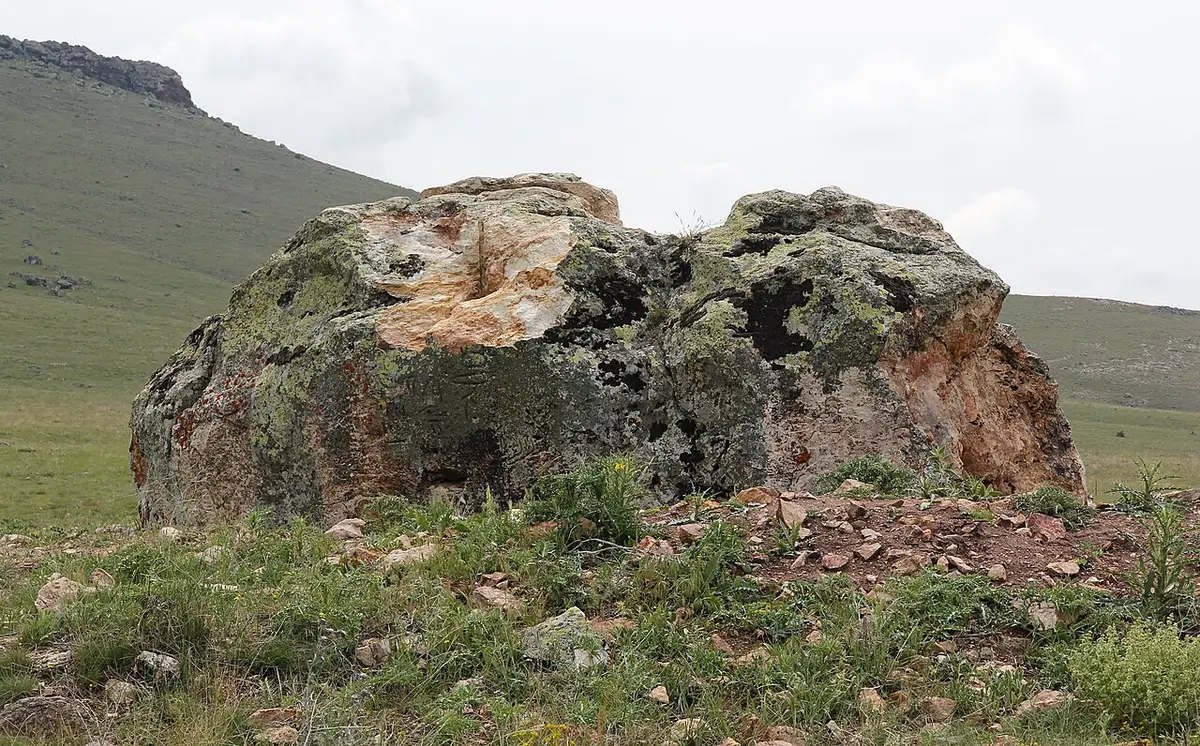 31 km
31 kmMalkaya
Kırşehir
- 36 km
Hashöyük
Kırşehir
Wrong information?Tell usFix it on OpenStreetMap