5.3 km
Karkın Höyüğü
Konya, Çumra
Konya · Archaeological site
Photo: Bernietaylor · CC BY 4.0
Çatalhöyük (English: Chatalhoyuk; , cha-tal-HOO-yuhk; Turkish pronunciation: [tʃaˈtaɫhœjyc]; also Çatal Höyük and Çatal Hüyük; from Turkish çatal "fork" + höyük "tumulus") is a tell (a mounded accretion resulting from long-term human settlement) of a very large Neolithic and Chalcolithic proto-city settlement in southern Anatolia, which existed from around 7500 BC to 5600 BC and flourished around 7000 BC. Çatalhöyük overlooks the Konya Plain, southeast of the present-day city of Konya (ancient Iconium) in Turkey, around 140 km (87 mi) from the twin-coned volcano of Mount Hasan. It is notable for its large size, apparent egalitarian social structure, and value as a well-preserved example of early Neolithic-era permanent human settlements.
Text: Wikipedia, CC BY-SA 4.0 · Read more on Wikipedia
Konya, Çumra
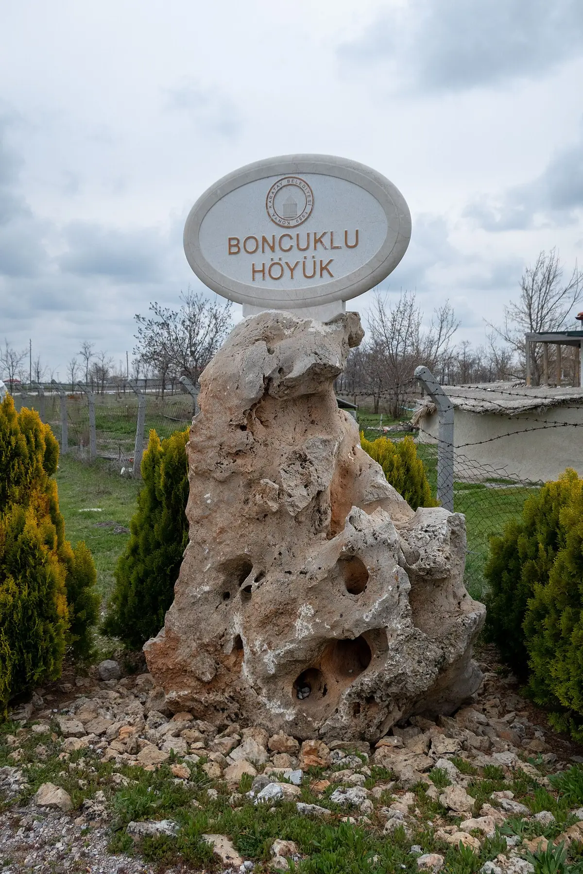 9.9 km
Konya
Konya
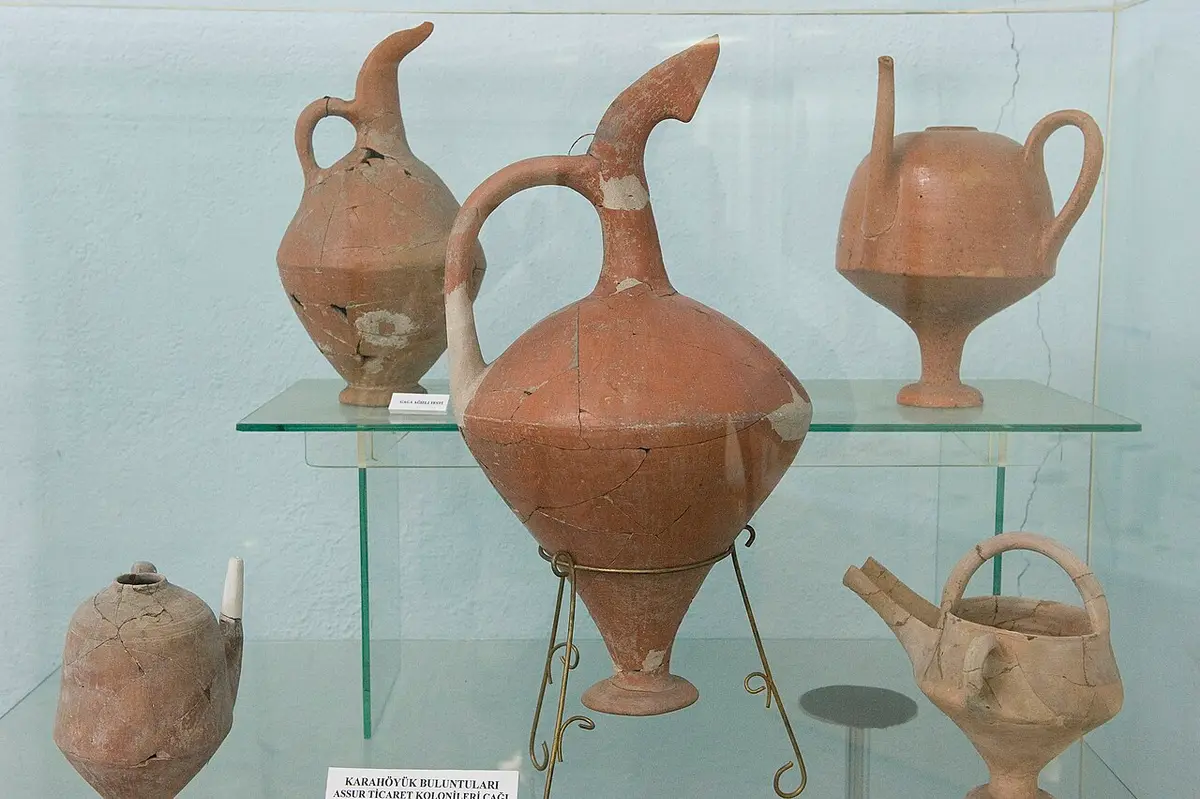 18 km
18 kmKonya
Wrong information?Tell usFix it on OpenStreetMap