Acharaca
Aydın · Archaeological site
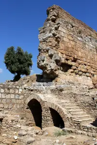
Photo: Izabela Miszczak · CC BY-SA 4.0
Catalogue label
- Type
- Ancient city
- Kind
- Archaeological site
- Province / district
- Aydın
- Elevation
- 390 m
- Wikidata
- Q12874234
About
Acharaca (Ancient Greek: Ἀχάρακα) was a village of ancient Lydia, Anatolia on the road from Tralles (modern Aydın, Turkey) to Nysa on the Maeander, with a Ploutonion or a temple of Pluto, and a cave, named Charonium (Ancient Greek: Χαρώνειον άντρον), where the sick were healed under the direction of the priests. There is some indication that it once bore the name Charax (Χάραξ), but that name may have belonged to Tralles. Its location is now the site of the modern town of Salavatlı. Recoveries from archaeological excavations are housed at the Aydın Archaeological Museum.
Text: Wikipedia, CC BY-SA 4.0 · Read more on Wikipedia
Location
Visiting here? The next 5 places nearby
The best-known places close by, in the shortest order from Acharaca: about 172 km and 2 h 50 min of travel, plus roughly 7 h 30 min for the visits.
5.7 km · 6 min by car
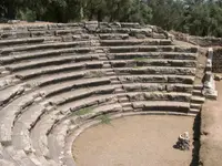 Nysa
Aydın, Sultanhisar
25 km · 25 min by car
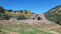 Mastaura
Aydın, Nazilli
42 km · 42 min by car
 Aurelia Neapolis
Aydın
53 km · 53 min by car
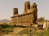 Alabanda
Aydın, Çine
46 km · 46 min by car
 Tralleis
Aydın, Efeler
Directions for this routeDistances are straight-line estimates adjusted for roads; check each museum's hours before you go.
Also nearby
- Leimon · 3.1 km
- Aroma · 3.6 km
- Nysa Bridge · 4.0 km
- Yörük Ali Efe Museum · 12 km
- Koskinia · 12 km
- Euhippe · 13 km
- Orthosia · 14 km
Wrong information?Tell usFix it on OpenStreetMap